


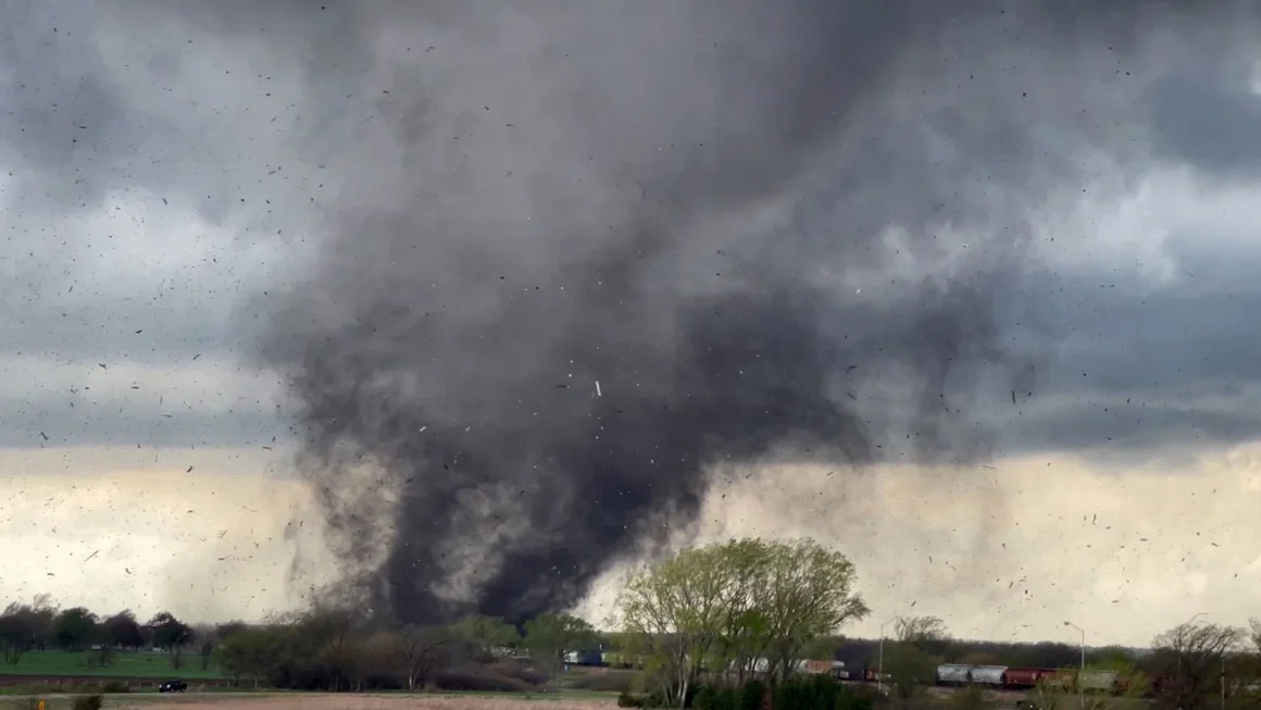
If the atmosphere is able to recharge following morning storminess, new severe thunderstorms will start to bubble up in the afternoon. Areas from northeastern Texas to southern Iowa and western Illinois face the greatest chance for damaging storms.
The storms could unload damaging wind gusts and large hail, but an isolated tornado or two is also possible.
Some storms, especially in the southern portion of the risk area, could remain severe as they push east Sunday night.
Heavy, flooding rainfall is possible, especially in parts of the Lower Mississippi Valley.
By Monday, severe weather is forecast to become much more isolated. Any developing storms may be confined to the Gulf Coast.
CNN Meteorologist Robert Shackelford contributed to this report.