Kent State doctoral student making progress in lead exposure research
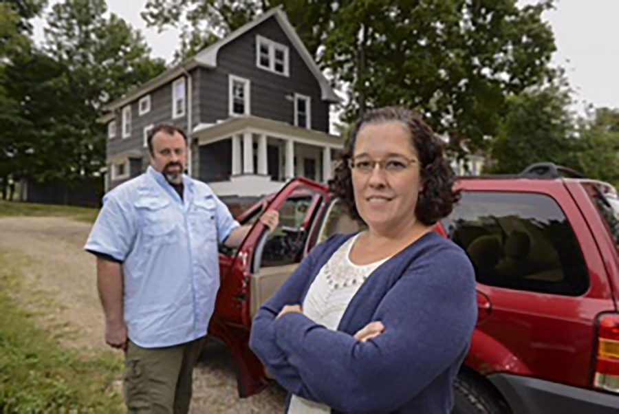
Laura Schuch is a PhD candidate in geography researching the prevalence and distribution of lead paint in older structures in Akron neighborhoods. With her is Professor of Geography Andrew Curtis.
September 17, 2015
A geography doctoral student has paired with Akron Children’s Hospital to use research technology to prevent high lead levels in children in Akron neighborhoods for the past two years.
Laura Schuch, who studies under geography professor Andrew Curtis, uses spatial mapping technology to take photomaps of Akron and then applies the images to locations of children with high lead exposure.
“When I realized there are a large number of children who have been lead poisoned or have the potential to be lead poisoned, I became very passionate about this research,” Schuch said.
Spatial mapping uses four cameras on a car and takes comprehensive pictures of the area as the car moves around the neighborhood, creating a geonarrative. This technology will help identify areas with potentially high lead exposure, which may cause high lead blood levels in children.
Dr. Joel Davidson from Akron Children’s Hospital has been collaborating with Schuch on her research. Davidson explains the research aims to determine if a child is living in an area with the possibility of high lead exposure before any screenings.
“High lead levels in the blood can lead to behavior problems and issues with learning,” Davidson said.
All children on Medicaid have their lead levels screened between the ages of one and two, but other circumstances may lead to testing a child’s lead levels.
“If the family of a child lives in a house built before 1978 or if the parent participates in a hobby that involves lead, the child will be regularly tested for elevated blood levels,” Davidson said.
The research hopes to identify areas with high lead exposure or signs of high lead exposure in the environment. Researchers then can use that information to educate people on things to look for when buying a home or monitoring in their neighborhood.
Spatial video technology has been used in many fields. According to a journal by Kent State professor Andrew Curtis, “a call has recently been made by the public health and medical communities to understand the neighborhood context of a patient’s life in order to improve education and treatment.”
Geonarrative technology has been used in “postal-disaster recovery, crime, mosquito control and tuberculosis in the homeless,” Curtis said.
This is not the first collaboration with Akron Children’s hospital, Davidson said.
“Lead is the first step in mobilizing this partnership,” Davidson said
Gabrielle Woodard is the arts and sciences reporter for The Kent Stater. Contact her at [email protected].