Citizens pour into city council meeting after proposed change in floodplain map
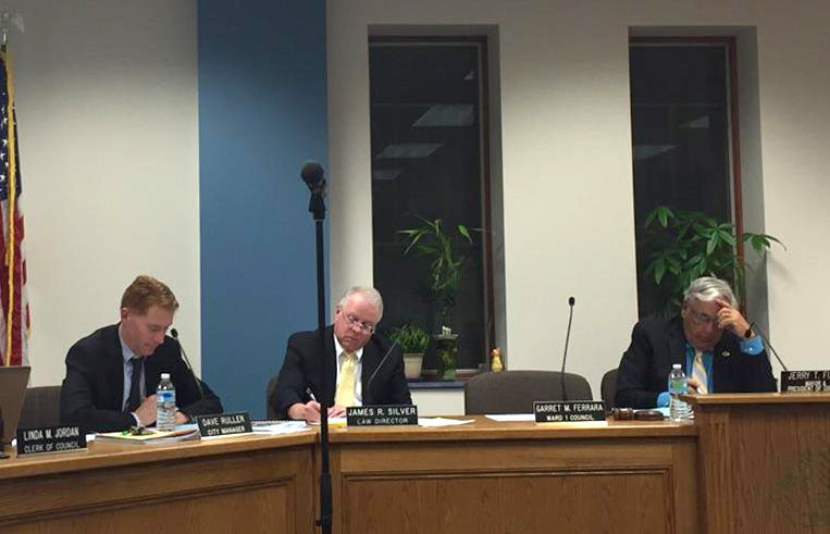
(from left) City manager Dave Ruller, city law director James R. Silver and Kent mayor Jerry T. Fiala sit at a city council meeting on Wednesday, Nov. 18, 2015.
November 18, 2015
More than a dozen citizens of Kent gathered in the atrium of the Kent Fire Department after Wednesday’s city council meeting to plan their next step.
These citizens, largely living in the Forest Lakes development and on Shady Lakes Drive, received a notice in the newspaper from the city of Kent. This notice, a courtesy from the city, informed citizens in this area that their property now falls within a floodplain.
City engineer Jim Bowling addressed the crowd of citizens at the beginning of Wednesday’s city council meeting. Bowling said the initiative to update the floodplain map began in 2010 and was required by the Federal Emergency Management Agency (FEMA). The floodplain map had last been updated in the 1980s.
“There were things that were constructed improperly, but they never updated the flood maps at the time,” he said to the community members. “Some of the things you’ve seen like the dam lowering in the Cuyahoga River in Kent and Aurora aren’t shown on the flood map.”
Bowling said the floodplain manager in Kent based these changes on technical data, which includes physical changes in the land, the lowering of dams in Portage and Summit counties and more accurate technology used to study topography. For example, the technology used to measure elevation in the 1980s could only measure in increments of 10 feet and now engineers have technology that can measure in increments of two feet.
The changes in the floodplain map, reviewed and approved by FEMA, are currently in the “comment phase.” This phase allows citizens to provide comments and questions to the city engineer’s office. These comments and questions must be technical in manner and question specific details of the flood plain map based on empirical evidence and data.
“We feel, as a community, that this is a back door effort of some form,” said Mary Nickson, who lives on Shady Lakes Drive. “I understand that they have been researching this for so long; then why is this the first we’re hearing about it?”
Six different citizens publicly addressed city council regarding the changes in the floodplain map and the impact of this on their property and lives.
Peter Paino of Windward Lane said he wants to know why his property is changing from being labeled a wetland to part of the floodplain.
He said his home’s elevation is seven to eight feet above the designated floodplain line while approximately 10 feet of his backyard falls within the floodplain elevation cutoff. Paino suggested the city quick claiming the property affected by the change in the floodplain map as part of Kent’s park system.
Other citizens expressed concern about losing value in their property and being forced to purchase flood insurance.
James Alekna of Windward Lane said he checked with his insurance company regarding flood insurance. Alekna said that his insurance company quoted him an annual insurance rate of $2,759, which insures the maximum amount for a dwelling, $250,000, and the maximum for personal belongings, $100,000. The Portage County Auditor assessed Alekna’s property to be worth $275,700.
“It is just perplexing to me,” said Albert Ehlert of Shady Lakes Drive. “We do pay the high property taxes, and as a result of possibly having my property devalued are my property taxes going to be reduced? The city of Kent is going to lose property tax money. There is this whole ripple-down effect. We’d like to have some serious answers.”
Katie Johnson of Shady Lakes Drive purchased her home three years ago, saw the water near her backyard and asked the question, “Are we in a flood zone?”
Johnson, at the time of purchase, found out her home was in fact not in the floodplain. Now, Johnson said half of her property falls in the floodplain area. Johnson said she expects the city of Kent to reduce the size of the floodplain by adding infrastructure to move the water back out.
City council passed a motion for city administration to have a meeting with the citizens affected by the changes in the floodplain map. The notice was sent to citizens on Oct. 30 and citizens have 90 days to appeal the changes in the floodplain map.
“Since 2010, we’ve had at least one, if not two, hundred-year rain events,” said Roger Sidoti, councilman at large. “If we’ve had at least two hundred-year rain events and that pond has never expanded onto their properties then I would suggest common sense would dictate here.”
Elizabeth Randolph and Tyler Singleton are city reporters for The Kent Stater. Contact them at [email protected] and [email protected].