Map Library allows for arm chair travel in McGilvrey Hall
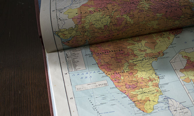
A map of India sits on a table at the map library on Thursday Feb. 12, 2015. The map library, located in 410 McGilvery Hall, contains a wide variety of maps and atlases.
February 17, 2015
Most students who walk into McGilvrey Hall are there only to attend class. However, hidden on the fourth floor lies the Map Library.
The library’s bookshelves are packed with many atlases from all over, while file cabinets are filled with many more flat maps. Hidden between the shelves and file cabinets are quiet study tables where students are encouraged to sit and get their work done.
Created in 1968, this library has been around for more than 40 years.
Edward Koltonski, a graduate student in Library and Information Science and an assistant in the library, said that it is a special library that tailors to people in McGilvrey Hall, but they are not the only ones who can use it.
“I think a lot of people feel like with special libraries that they are just there for that particular building or for a particular set of students,” Koltonski said.
That’s not the case, however. Koltonski said the library is here for everybody.
“Geography, geology, architecture, environmental design, those are our heavy users,” Edith Scarletto, the head of the Map Library and the assistant professor for University Libraries said. “But we do get folks from all over campus, from different subject areas.”
About 270 flat maps and 1,500 atlases, most of which are of Ohio and surrounding areas, are included in the library. The collection dates back from the 1950s to the present.
The Map Library also contains atlases from foreign countries, as they are not always easy to find because they are not all online, Scarletto said.
Scarletto said that the Map Library collects Geographic Information Systems (GIS) data for Ohio, which is statistic information about a location, such as population and environmental facts. The data also includes digital maps of streets and locations for call boxes or utility lines.
Scarletto said she helps with GIS consultation, which helps people find data, map and process the data. She also helps those with general questions surrounding maps by helping them find information for their research or maps they need.
“Students tend to utilize this (library) more when they have a project,” Koltonski said. “The majority of users we have are faculty or graduate students.”
The Map Library is part of OhioLINK, an organization that allows its members to have access to about 50 million books and different library materials. OhioLINK also offers more than 100,000 e-books, according to the OhioLINK website.
Students can have access to books and material sent to this location from other libraries, which is sometimes easier than going to the University Library, Koltonski said.
Rodney Feldmann, a part-time faculty member in the Geology department, praised the faculty of the Map Library and said it’s something the people in this area can’t get manage without because everything they use deals with maps.
Rodney said people who use the library don’t use everything, but what they need is always easy to access.
“Edith and her predecessors have been incredibly helpful people,” Feldmann said. “She just bends over backwards to help us.”
The Map Library is in open from 1 to 5 p.m. Monday through Friday.
Contact Nick Boonehim at [email protected].